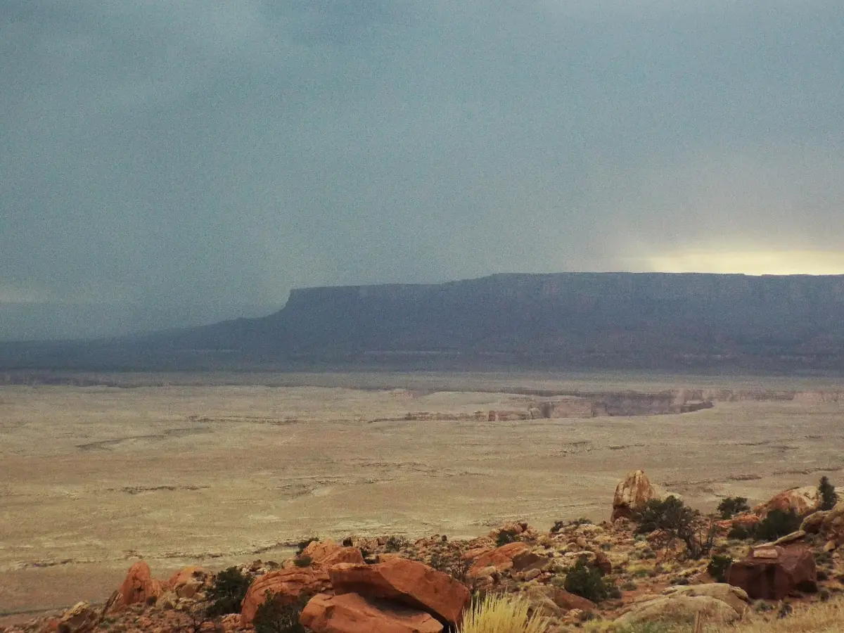
Kanab climate at a glance
Kanab sits at 4,900 feet (about 1,490 m) in the high desert of southern Utah. Summer days are hot, winter nights drop below freezing, and the wettest weather comes in two periods: late winter and the late-summer monsoon. The figures on this page are climate averages for 1991 to 2020 from the NOAA weather station in Kanab. They describe a typical month, not a forecast and not the weather of 2026.
The averages are for the town itself. Do not apply them to Bryce Canyon or the Grand Canyon's North Rim, which have their own climate. For a hike, a dirt road or a slot canyon, the forecast on the day matters more than any monthly average.
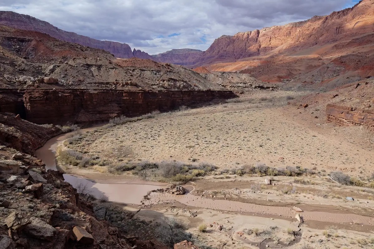
Kanab weather by month
Average daily high and low, and average precipitation, 1991 to 2020. Precipitation includes the water content of snow.
| Month | High | Low | Precipitation |
|---|---|---|---|
| January | 49°F (9.7°C) | 25°F (-3.9°C) | 1.71 in (43.4 mm) |
| February | 54°F (12.2°C) | 28°F (-2.3°C) | 1.92 in (48.8 mm) |
| March | 62°F (16.8°C) | 33°F (0.3°C) | 1.40 in (35.6 mm) |
| April | 69°F (20.7°C) | 37°F (2.9°C) | 0.88 in (22.4 mm) |
| May | 79°F (25.9°C) | 45°F (7.1°C) | 0.59 in (15.0 mm) |
| June | 90°F (32.1°C) | 53°F (11.4°C) | 0.29 in (7.4 mm) |
| July | 94°F (34.6°C) | 61°F (15.9°C) | 1.25 in (31.8 mm) |
| August | 92°F (33.1°C) | 60°F (15.3°C) | 1.42 in (36.1 mm) |
| September | 85°F (29.3°C) | 52°F (11.1°C) | 1.62 in (41.1 mm) |
| October | 73°F (22.6°C) | 41°F (5.1°C) | 1.51 in (38.4 mm) |
| November | 59°F (15.2°C) | 31°F (-0.3°C) | 0.97 in (24.6 mm) |
| December | 49°F (9.2°C) | 25°F (-4.1°C) | 1.37 in (34.8 mm) |
Guided trips from Kanab
Half-day and full-day tours to canyons, dunes and desert landscapes near Kanab, with current prices and availability.
Best time to visit Kanab
By the averages, April, May and October have lower daytime highs than June to August. They are often the more comfortable months for long walks in the sun. May still reaches 79°F (26°C) on average, and desert sun feels hotter than the number suggests. This is a reading of the averages, not a guarantee of dry or safe hiking conditions.
- Spring (April and May): highs from 69°F to 79°F (21°C to 26°C), and some of the lowest rainfall of the year. Nights are cool, with lows in the high 30s to mid 40s °F (3°C to 7°C).
- Summer (June to August): highs of 90°F to 94°F (32°C to 35°C). Start early and finish before the afternoon. June is the driest month, July and August bring storms.
- Fall (September and October): highs fall from 85°F to 73°F (29°C to 23°C), but September and October still see 1.5 inches or more of rain on average.
- Winter (December to February): highs around 49°F to 54°F (9°C to 12°C) and lows below freezing. February is the wettest month on average. Ice is possible on trails and dirt roads.
Monsoon and flash floods
The North American monsoon brings thunderstorms to the Southwest, roughly from 15 June to 30 September. Its strength varies by region. It does not rain every day, and the storm risk does not end on 1 October. This fits the second rise in average rain from July to October.
The danger is not the rain you can see. Storms far upstream can send water through a slot canyon on a dry, sunny day. Do not enter Wire Pass or Buckskin Gulch when rain threatens, and think about rain in the catchment area, not just at the trailhead. The rating of "easy" for a hike does not mean the water and weather are safe. Before any canyon trip, look at the Southern Utah flash flood potential rating and current warnings from the National Weather Service in Salt Lake City. See Buckskin Gulch and Wire Pass for the trail details.
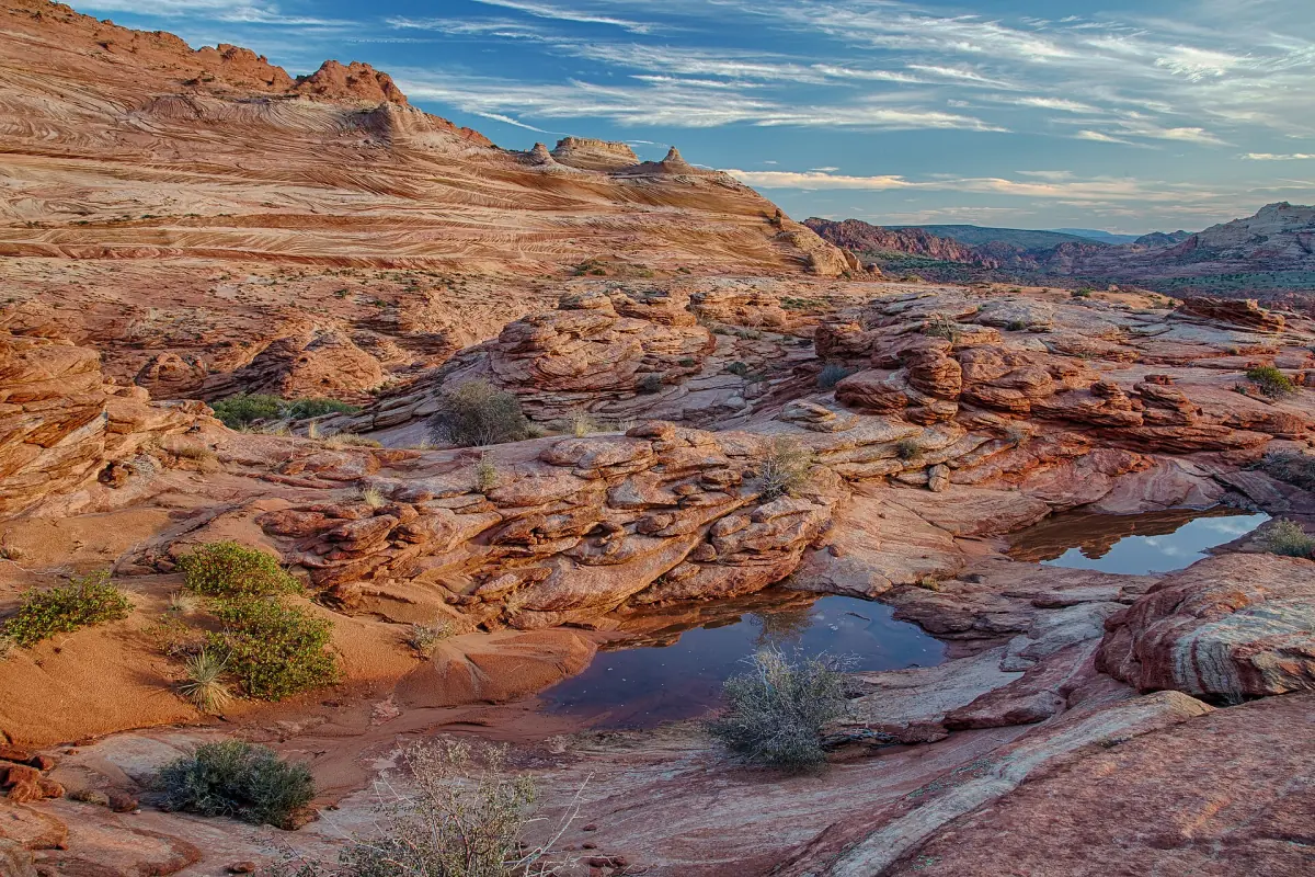
What the weather means for each trip
The Wave
From May to September the heat can be dangerous, with no drinking water and no shade on the route. In winter, ice is possible. The route is unmarked, so plan for weather you cannot escape quickly.
The Wave →Toadstool Hoodoos
There is no shade on the trail. In summer, avoid the midday heat. Spring and fall are the better seasons for this walk.
Toadstool Hoodoos →Dirt roads
The House Rock Valley Road can become impassable when wet. Other sand roads need high clearance and four-wheel drive. After rain or in winter, even a four-wheel-drive vehicle may not get through.
Vermilion Cliffs →Time zones
Kanab is on Mountain Time. During Utah's daylight saving time, Kanab is one hour ahead of Page and neighboring parts of Arizona. Permit lotteries run on Utah and Navajo time.
Kanab weather: frequently asked questions
What is the best month to visit Kanab?
April, May and October have lower average highs than the summer months, so they suit long walks in the sun. The best month depends on your plan. Slot canyons need a dry forecast whatever the month.
How hot is Kanab in summer?
The average July high is 94°F (34.6°C) and the average August high is 92°F (33.1°C). Hikes in the sun without shade need an early start and plenty of water.
Does it snow in Kanab?
Winter highs average about 49°F to 54°F (9°C to 12°C) and nights fall below freezing. January and February are among the wettest months, and the precipitation figures include snow.
When is the monsoon season?
Roughly 15 June to 30 September in the Southwest, with strength that varies by area. Expect thunderstorms in the afternoon on some days, not every day.
Are these the weather figures for 2026?
No. They are climate averages for 1991 to 2020. Use a current forecast for your travel dates.
Is it safe to hike a slot canyon after a storm?
Not when rain threatens, including rain upstream. Check the flash flood rating and warnings for your day, and skip the canyon if conditions are doubtful.