The Toadstool Hoodoos at a glance
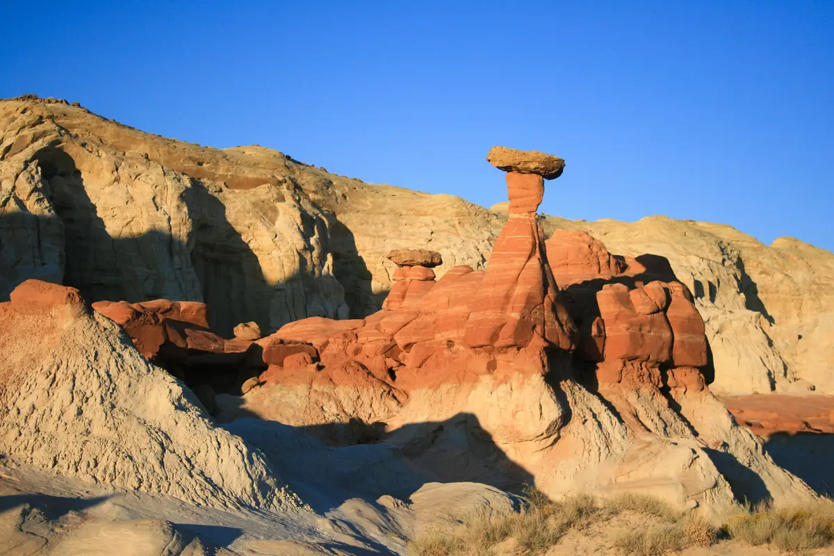
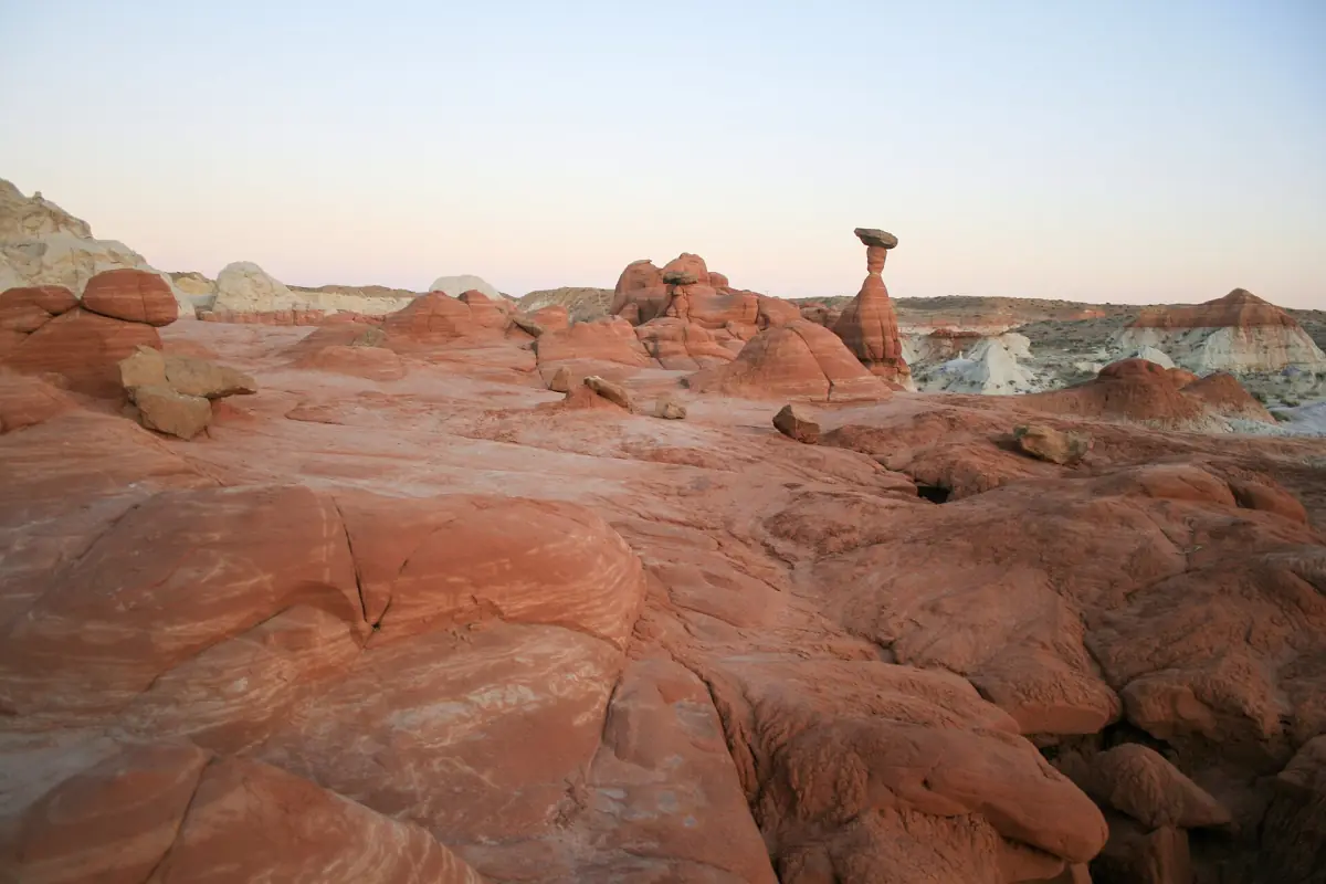
The Toadstools are a group of rock formations in the Grand Staircase-Escalante area of southern Utah. Red and white rock layers form pillars that carry a flat capstone, which is where the name comes from. The trailhead is on US 89, about 45 miles (72 km) east of Kanab and 12 miles (19 km) west of Big Water.
The Visit Utah listing describes the Toadstools as free and open year-round. The walk follows a wash to the formations and returns the same way. The trail page rates it easy to moderate.
Do not confuse the Toadstool Hoodoos in Utah with Toadstool Geologic Park in Nebraska. They are different places.
The Toadstools hike, step by step
A short out-and-back walk. The route is the same in both directions.
Drive east on US 89
From Kanab the trailhead is about 45 miles (72 km) east on the highway. The trailhead is directly on the highway. Coming from the east, it is 12 miles (19 km) west of Big Water.
Walk into the wash
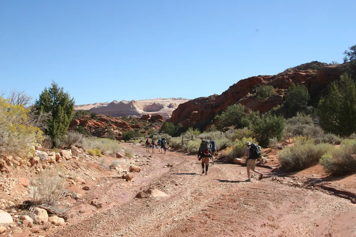
The trail leads through a wash to the formations. Wear closed shoes with good grip.
Reach the hoodoos
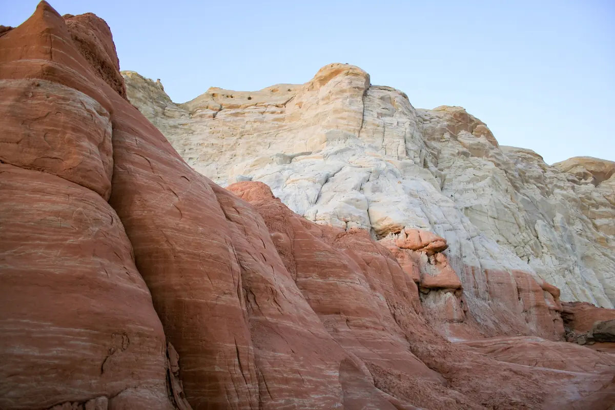
Look for the layers of red and white rock and the capstones on top of the pillars. Do not touch the formations or climb on them.
Walk back the same way
Return along the wash to the highway. Leave yourself enough water for the walk back, because there is no shade along the route.
Tours around Kanab
Guided day trips from Kanab to the Vermilion Cliffs, White Pocket and other desert destinations, with live prices and availability.
How far is the Toadstools trail?
The trail page lists about 1.5 miles (2.4 km) round trip. A state itinerary for families mentions 2 miles (3.2 km), so plan for up to 2 miles. Either way it is a short walk.
| Detail | Toadstool Hoodoos |
|---|---|
| Fee | Free |
| Season | Year-round |
| Distance | About 1.5 to 2 miles round trip (2.4 to 3.2 km) |
| Difficulty | Easy to moderate |
| Shade | None along the route |
| Dogs | Allowed |
| Trailhead | US 89, about 45 miles east of Kanab |
Parking at the trailhead
The trailhead is on US 89. Arrive early in the day if you can. That is also the best way to avoid the heat.
Bring your own water and snacks, and plan as if there are no services at the trailhead.
Cottonwood Road and the Paria Movie Set Road are other dirt roads in the area. In the BLM road report of 16 October 2026, Cottonwood Road was closed and impassable, and the Paria Movie Set Road had deep washouts. The Toadstools do not need either road, but check the current report before you drive on any dirt road in the region. The Vermilion Cliffs page has more on road conditions.
Heat, season and rules
There is no shade on the route. In summer, avoid the midday hours. Spring and autumn are described as the better times to visit. For orientation, the average daily high in Kanab in July is about 94 °F (35 °C), according to NOAA normals for 1991 to 2020. The trailhead is a different place, so use this only as a rough guide. Our Kanab weather page has the monthly figures.
- Do not touch or climb the formations.
- Dogs are allowed. Bring water for them too.
- Carry all the water you need, wear a hat and use sunscreen.
- Pack out everything you bring in.
Plan your visit
Because the trailhead sits directly on US 89, the Toadstools work as a stop on a drive east from Kanab toward Big Water. The hike is short, so it combines well with a second stop. Buckskin Gulch and Wire Pass are reached from the same highway by House Rock Valley Road, but they need a separate $6 day-use pass and dry weather.
A simple packing list:
- Water for everyone in your group, and more than you think you need in summer.
- A hat, sunscreen and sunglasses, because there is no shade.
- Closed shoes with grip for the wash.
Combine the Toadstools with other stops
The hike is short, so it fits easily into a day with other places near Kanab.
Buckskin Gulch and Wire Pass
A day-use pass, a short slot canyon hike and the flash flood rules you need to know.
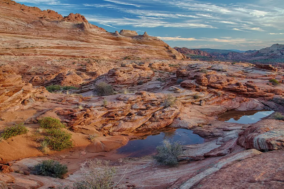
Vermilion Cliffs National Monument
Areas, permits and road conditions for the monument in northern Arizona.
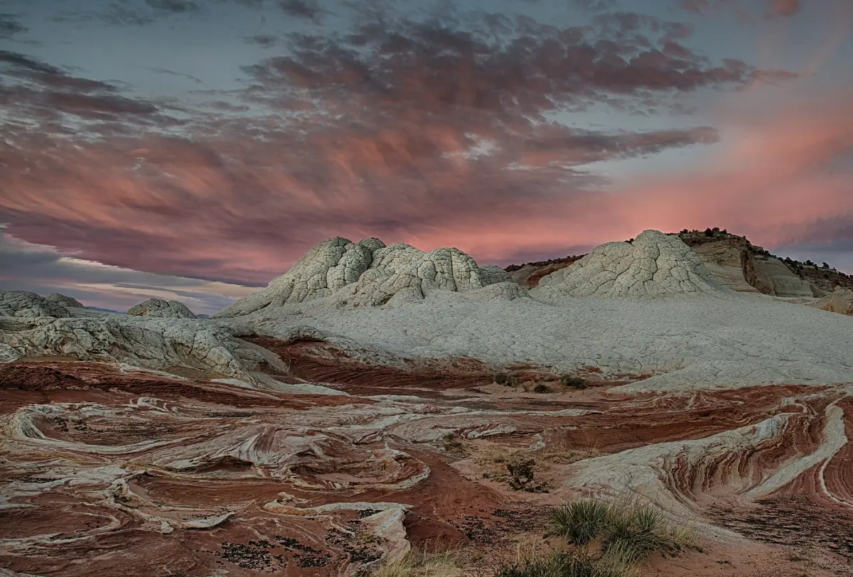
White Pocket
Banded sandstone reached on a sandy road that needs the right vehicle.
Toadstool Hoodoos: frequently asked questions
Do I need a permit or pay a fee for the Toadstools?
The Visit Utah listing describes the Toadstools as free and open year-round. You still need to follow the rules for the area, and you should check conditions before you go.
How long is the Toadstool Hoodoos trail?
The trail page gives about 1.5 miles (2.4 km) round trip. A state family itinerary says 2 miles (3.2 km). Plan for up to 2 miles and an easy to moderate walk.
Where is the trailhead?
On US 89, about 45 miles (72 km) east of Kanab and 12 miles (19 km) west of Big Water.
Can I bring my dog?
Yes, dogs are described as allowed. There is no shade on the route, so bring extra water and avoid hot hours.
When is the best time to go?
Spring and autumn. In summer, go early and skip the midday heat.
Can I touch the hoodoos?
No. Do not touch or climb the formations. Keep your hands off the rock.