Vermilion Cliffs National Monument at a glance
Vermilion Cliffs is a protected area managed by the BLM in northern Arizona. It covers 280,000 acres (about 1,130 km²) and includes the Paria Plateau and the Coyote Buttes landscapes, where The Wave and the South area are found. From Kanab you reach it on US 89 to the east, or on US 89A via Fredonia and Jacob Lake.
There are no paved roads inside the monument, and there is no visitor center in the monument itself. You get information in Kanab, at the Paria Contact Station and in St. George. Fill up on fuel and water before you leave town.
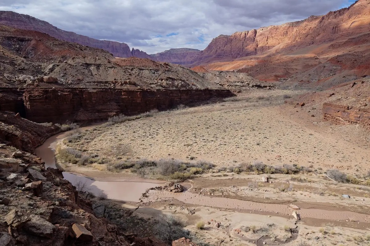
Areas of the monument and what each one needs
Permits depend on where you go. A visit to the monument does not require a reservation for every location.
| Area | Permit | Vehicle and route |
|---|---|---|
| Coyote Buttes North (The Wave) | Day permit by lottery, no camping. See The Wave | Unmarked hike of 6.4 miles (10.3 km) round trip, unpaved access road that is little maintained |
| Coyote Buttes South | Day permit through Recreation.gov, groups of up to 6 | No marked trails. Cottonwood Cove and Paw Hole need a 4x4 with high clearance |
| White Pocket | No fee listed by BLM, no permit for an ordinary visit. See White Pocket | 4x4 with high clearance, deep sand and sharp rock |
| Buckskin Gulch and Wire Pass | Day use $6 per person per day (2026). See Buckskin Gulch | House Rock Valley Road, 2WD high clearance in the October 2026 report |
| Paria Canyon overnight | Separate permit, $5 per person or dog per day | – |
North, South and Paria permits are not interchangeable. Permits come only through recreation.gov and BLM.
Our picks: Vermilion Cliffs tours
White Pocket by 4x4 or on foot, and a hiking tour to South Coyote Buttes.
Hand-picked tours, booked through GetYourGuide. Prices are indicative starting prices in US dollars (as of October 2026). Tap a tour for live availability and the current price in your currency.
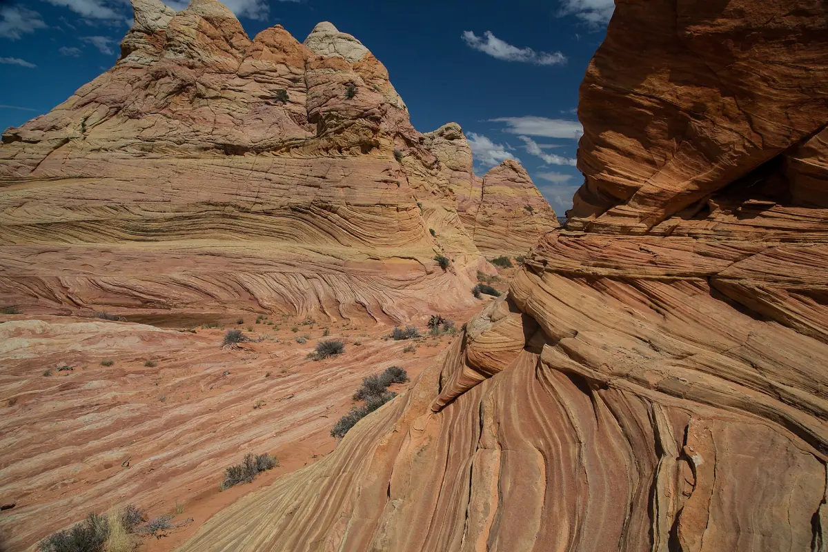
South Coyote Buttes hiking tour
A cooler with water is included. The required permit, food and tips are not, and this is not a trip to The Wave.
Check availability →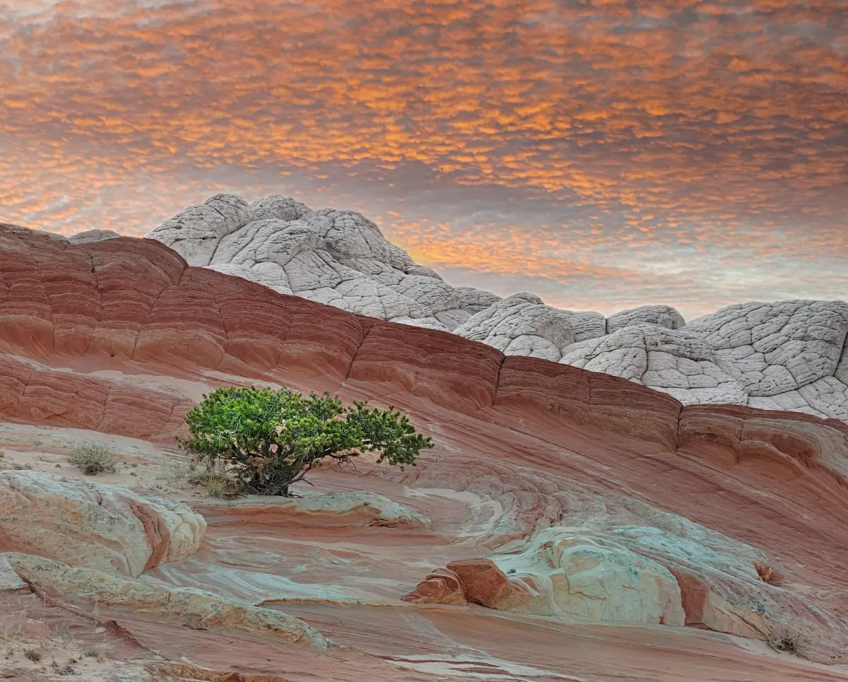
White Pocket hike from Kanab
A guide, transport from Kanab and water. Tips are not included, and the listing does not mention lunch.
Check availability →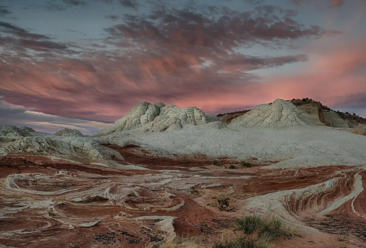
Guided 4x4 group trip to White Pocket
A guided group drive in an off-road vehicle with an experienced guide. Food and drinks are not included.
Check availability →Vermilion Cliffs tours from Kanab
Guided 4x4 and hiking trips into the Vermilion Cliffs area from Kanab, with live prices and availability.
Roads and vehicles
House Rock Valley Road can become impassable when it is wet. Other sand roads in the monument need high clearance and four-wheel drive. Carry a full-size spare tire, plenty of water, food and enough fuel. Do not drive these roads without a suitable vehicle.
The BLM road report of 16 October 2026 rated House Rock Valley Road as 2WD high clearance, with muddy stretches north of Wire Pass that could be driven around. That is a snapshot. Conditions change fast with weather, and BLM updates the reports at irregular intervals.
Camping outside the wilderness areas is allowed at dispersed sites that are already in use. Permit areas have their own rules. For example, there is no camping in the Coyote Buttes North permit area.
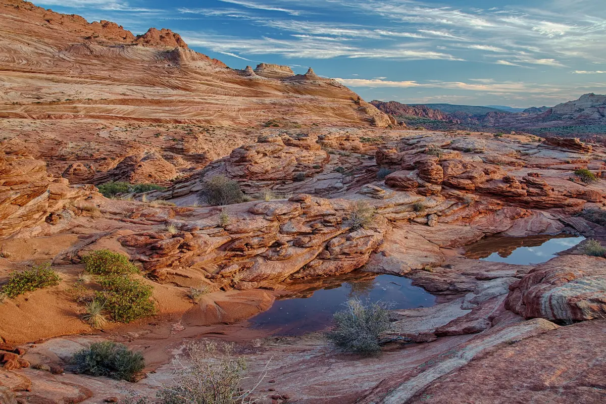
Weather and flash floods
Rain changes everything out here. Dirt roads turn to mud, washes fill and slot canyons become dangerous. Check the forecast before you leave Kanab, and see the Kanab weather page for monthly averages and the monsoon season. In summer, heat is a risk on the sandstone, where there is no shade.
If you are unsure about the conditions or your vehicle, take a guided tour instead of driving yourself.
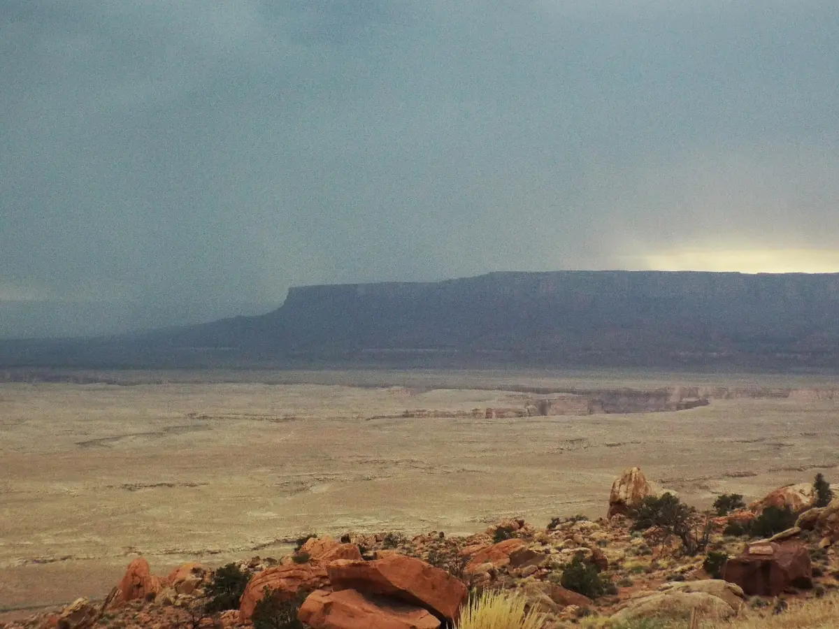
Grand Staircase-Escalante near Kanab
The Grand Staircase-Escalante area near Kanab has its own dirt roads and trails. The Toadstool Hoodoos trail on US 89 is a short walk in this area. For the dirt roads, rely on the dated road report.
In the BLM report of 16 October 2026, Cottonwood Road was closed by county staff on 15 October and the Paria Movie Set Road had deep washouts in front of the day-use area, so it was impassable. Skutumpah Road to Bull Valley Gorge was rated 2WD high clearance. Look at the current report before heading out.
Wave permits do not carry over to this area.
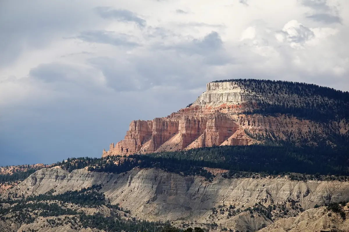
East of Kanab: Page and Lake Powell
Our focus is the Kanab area. If you continue into Arizona, Page and Lake Powell are covered in more detail on our sister site. For tours into the monument itself, see the Kanab tours page.
Choosing an area
Pick the area by what you want to do, then check the permit and the vehicle it needs.
A short slot canyon walk
Wire Pass and Buckskin Gulch need only the $6 day-use pass (2026) and dry weather. See Buckskin Gulch and Wire Pass.
Banded sandstone without a permit
White Pocket has no listed fee and no permit for an ordinary visit, but the sand road needs 4x4 with high clearance. BLM recommends licensed guides if you lack the vehicle or the experience. See White Pocket.
The Wave
Coyote Buttes North is a day permit by lottery. Expect an unmarked hike. See The Wave.
Overnight in Paria Canyon
This needs a separate permit, booked in advance, at $5 per person or dog per day.
Vermilion Cliffs National Monument: frequently asked questions
Do I need a permit for Vermilion Cliffs?
Not for every visit. North, South and Paria overnight stays have their own permits. Buckskin Gulch and Wire Pass need a day-use pass. Other locations, such as White Pocket, do not need a permit for an ordinary visit.
Is there a visitor center in the monument?
No. You can get information in Kanab, at the Paria Contact Station and in St. George.
Are the roads paved?
There are no paved roads inside the monument. Access is on dirt and sand roads, and some need 4x4 with high clearance.
Can I camp in the monument?
Outside the wilderness areas, dispersed camping is allowed on sites that are already used. Camping is not allowed in the Coyote Buttes North permit area.
How do I reach it from Kanab?
On US 89 to the east, or on US 89A via Fredonia and Jacob Lake.
What should I bring?
A full-size spare tire, plenty of water, food and enough fuel. Also check the road report on the day.